01Whisper Boat
Small electric boats are hired without a licence and steered yourself. The motor is nearly silent, so passing a rowing boat barely disturbs the surface.
OPEN IN MAPS© zeynep · Pexels License · Pexels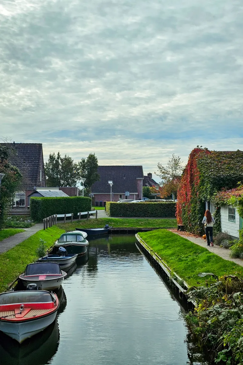
Almost no road runs through the village; water and timber bridges connect one house to the next. Peat digging left the hollows that filled to make these channels, so the waterways are human work. May to July and September are the months for taking a boat out.
Small electric boats are hired without a licence and steered yourself. The motor is nearly silent, so passing a rowing boat barely disturbs the surface.
OPEN IN MAPS© zeynep · Pexels License · PexelsEach household laid its own crossing, and the village counts 176 of them. No two are the same height, so a boat driver looks ahead to see where ducking is needed.
OPEN IN MAPS© Melike B · Pexels License · PexelsA farmhouse from the peat digging years keeps its earth floor kitchen and cupboard bed. The bed is short because people slept sitting up rather than lying flat.
OPEN IN MAPS© - landsmann - · Pexels License · PexelsNorth of the village lies the largest lowland fen in Europe, with boat channels cut between reed beds. Otters and herons live in it, and the reed is still cut for thatching.
OPEN IN MAPS© Onur Kaplan · Pexels License · PexelsRoofs are laid in reed to last about thirty years before being redone. Reed was once cheaper than tile, which is why poorer households roofed this way.
OPEN IN MAPS© zeynep · Pexels License · PexelsA dirt path circles the village for those who would rather walk than take a boat. The width is such that meeting a bicycle forces one of you to step aside.
OPEN IN MAPS© Kadir Avşar · Pexels License · PexelsA long pole pushed against the bottom moves this traditional boat, and lessons are offered for it. Turning means twisting the pole under water, so beginners spin in place for a while.
OPEN IN MAPS© Pierre LESCOT · Pexels License · PexelsWhen the water freezes, villagers skate from door to door along the channels. A board goes up with the measured ice thickness, and nobody steps on before it is declared safe.
OPEN IN MAPS© Валерия Дмитриева · Pexels License · PexelsTens of thousands of shells collected worldwide are fixed across the walls. It began as one person's collection, so the labels are handwritten.
OPEN IN MAPS© elena_ sher · Pexels License · PexelsA broad lake south of the village opens the view once you take a boat out. With wind the chop builds, and small boats keep to the edges.
OPEN IN MAPS© zeynep · Pexels License · PexelsBroad lakes and reed beds south of the village that form a national park together with the Weerribben. They filled with water where peat was dug out. Wind raises a chop quickly, so small boats are safer keeping to the channels along the shore.
OPEN IN MAPSA small hamlet across the water west of Giethoorn, with the same thatched houses and timber bridges. Tour boats hardly come here, and the lanes are hushed even at midday. A boat hired in Giethoorn can follow the channels over.
OPEN IN MAPSA harbour village that once faced the inland sea, its 17th-century merchant houses ringing a lock basin. When the lock opens, yachts file in and out beneath the bridge where people watch. It is a little over 15 minutes by car from Giethoorn.
OPEN IN MAPS