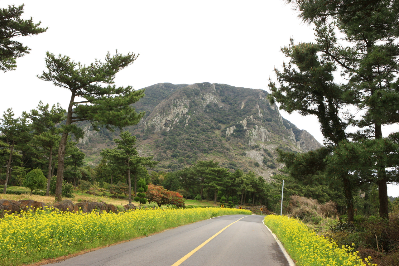
A volcanic island with Hallasan in the middle and one coast road all the way round. Rain on the mountain and sun on the shore in one afternoon is normal, so plan by east and west, not by the hour. Typhoons rule out summer, wind rules out winter, leaving March into May, then October and November.
01Seongsan Ilchulbong
Stairs take you to the rim of the crater and back in about an hour, with no shade anywhere along the way. On the shore below, the haenyeo divers work in front of an audience twice a day.
Only two routes reach the summit crater, Seongpanak and Gwaneumsa, and only with a reservation. Allow nine hours there and back. Miss the cut-off at the Jindallaebat shelter and the rangers turn you round. Bookings open a month ahead; weekends go fast.
Fifteen minutes by boat from Seongsan, but rental cars are not allowed across, so on the island it is the loop bus or a hired buggy. Sailings stop in bad weather and the last one shifts with the season — check how you get off before you get on.
The water bands into three colours as it deepens, with the cone of Biyangdo sitting straight out in front. The two beaches run into each other. Hyeopjae's car park fills by mid-morning; Geumneung, ten minutes' walk on, is usually the quieter half.
The open section runs a kilometre in, ends at a lava column, and you come back the way you went. Even in August it is cold enough that short sleeves do not last, over a floor that never dries and slides under thin soles.
Ten kilometres of packed earth between cedar and oak, almost flat the whole way, so trainers are plenty. No admission charge. The car park at the Bulgeun-oreum entrance is the easiest to find.
Hexagonal basalt columns stand where the sea sliced the lava flow open. You see them from a boardwalk and there is no way down to the rocks. On rough days water shoots up between the columns, which is when it is worth the trip.
They close and reopen it several times a day depending on tide and swell. The hours actually open that day go up on a board at the ticket window. The route threads between rock walls at sea level and floods completely at high water.
Thousands of nutmeg yews, many of them centuries old. The paths under them are laid with red volcanic scoria. A loop takes a little over an hour. The stretch a pushchair or a wheelchair can manage is signed separately.
Seventeen kilometres of coastline from Oedolgae to Wolpyeong, five or six hours if you do the lot. Buses reach the trail at a few points along the way, so plenty of people walk half and stop there.
A waterfall within walking distance of central Seogwipo, about 10 minutes along a streamside path from the ticket booth. Floodlit until around 10pm, so plenty of people come after dinner. The pool below is a protected habitat said to hold giant mottled eels.
Here the water drops off a coastal cliff straight into the sea. From the ticket booth stairs descend a good way to the shore, where the boulders are round, wet and slippery. Cheonjiyeon is a 10-minute drive off, so the pair fill one half-day.
Where Hyodoncheon stream meets the sea, a deep gorge holds water of dark jade. Clear-bottomed kayaks and the traditional raft called tewoo go up into it. After heavy rain the water clouds over and the boats stop.
A headland reaching south of Seongsan; from the lighthouse on its hill Seongsan Ilchulbong rises straight across the water. In April rapeseed blooms smother the slope by the entrance. Nothing breaks the wind out here, and in winter hats blow away.
Halfway up this bell-shaped lava dome, 395 metres tall, a natural cave serves as the shrine of Sanbanggulsa. About 20 minutes of stairs lead to where water drips from its ceiling. The summit is closed for protection, so the cave is as high as visitors go.
A path around the cliffs at the island's southwest corner, roughly ninety minutes for the loop. In the shoreline below are caves the Japanese army dug as the Pacific War closed. On a clear day Gapado and Marado sit side by side offshore.
A flat island 15-odd minutes' sailing from Unjin harbour at Moseulpo, its highest point around 20 metres. In April and May the whole island turns into green barley fields and a festival is held. A hired bicycle covers all of it inside an hour.
Korea's southernmost island, with the southern-tip marker stone on the shore. About 30 minutes' sailing from Unjin, and the timetable allows roughly two hours ashore. Jjajangmyeon shops crowd the landing, and seafood jjajang has become the ritual.
A 519-metre cone climbed from the car park in about 20 minutes of steep slope. In autumn its sides go silver with pampas grass. The rounded ridge has no trees, so at sunset nothing blocks the western sea as the sun sinks.
Half an hour east of Jeju City, it is the big beach people reach first from the airport. Shallow, clear water shows the sand underneath, and from Seoubong hill on the eastern side the coastline opens up. In spring rapeseed flowers on Seoubong's slopes.
With the airport only 10 minutes off by car, it suits an arrival or departure day. At the ends of the breakwaters a red and a white lighthouse, both shaped like horses, face each other. Planes come in low over the sand to land.
Most days this is a bone-dry cliff; it becomes a waterfall only when heavy rain has fallen on Hallasan. Crowds turn up right after a downpour, while a sunny visit shows bare rock. Parking is about 10 minutes from the falls along a forest path.
On the site of a Joseon county walled town, thatched houses and stone walls survive and people still live here. The dolhareubang by the gates are originals. Residents sometimes show you round and suggest buying omija or honey; you need not.
The cone whose lava formed Manjanggul, part of the World Natural Heritage site. Only visitors booked by the day before go in, at set times with a guide, and Tuesdays are a rest day. Japanese army tunnels remain along the forest path inside the crater.
A park remembering the islanders killed in the Jeju April Third events, which began in 1948 and ran for several years. The memorial hall lists victims' names village by village, and the museum is free. Each 3 April the commemoration ceremony is held here.