A port with more than three hundred islands off it, so every road out of town ends at water. Two bridges tie the mainland to Dolsan, and once they light up the waterfront at Jongpo becomes the centre of things. Avoid the summer peak and room rates halve.
01Odongdo
The causeway out to it is 768 metres, a quarter of an hour on foot or a few minutes on the little land train, onto an island that is camellia end to end and red underfoot with fallen flowers by March.
A 1.5-kilometre crossing over open water between Dolsan and Jasan, where the crystal cabins with the glass floor cost more and queue separately. Strong wind shuts the whole line for the day.
A hermitage stuck to the cliff at Dolsan's southern tip. From the car park it is stairs all the way. The path squeezes through gaps in the rock wide enough for one person, and a big backpack catches. On New Year's morning the road in is blocked before dawn.
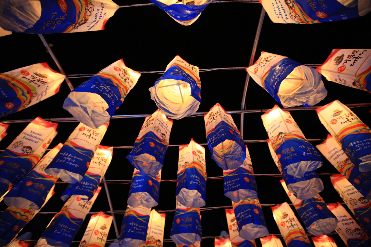
Tented stalls line the promenade at Jongpo every evening. Through the day there is nothing there at all; the frames go up as the light goes. They shut for a stretch of the winter.
A rise just across the Dolsan bridge, facing the city lights head-on. The viewpoint is a few steps from the car park, so plenty of people drive up, look, then drive straight back down.
You get there by passenger ferry. The trail runs eighteen kilometres in five sections along what the islanders call bireong, the cliff edge. With only a few sailings a day, most people walk one section and leave.
A full-size turtle ship floats off the square and you can go below deck. How low and how tight the rowing benches are does not come across at all from the outside.
The murals run 1,004 metres along the walls of a hillside lane. In Korean 1,004 sounds like the word for angel, and the lane took that as its name. It is stairs most of the way, broken by points where town and harbour open up together.
The sand is black, and in high summer it gets too hot to cross barefoot. People have long buried themselves in it as a heat treatment, on a stretch of beach still set aside for that each year.
The park still runs on the buildings left from the 2012 exposition, and at night a structure out on the water puts on a show of jets and fire. Yeosu Expo station is right beside it, so you walk in from the train.
Rebuilt in 1599 where Yi Sun-sin's Left Jeolla naval command stood, a one-storey hall on dozens of wooden pillars and a national treasure. Taken apart for repair from late 2015, it reopened in May 2025. From its floor the harbour shows between pillars.
An islet facing the Yeulmaru arts centre, laid out with trails and a gallery. The Jinseom causeway out to it floods whenever the tide is full, cutting the island off twice daily. A sign at its foot lists that day's crossing times.
A red lighthouse capping the Jongpo breakwater, named for Hendrick Hamel, the shipwrecked Dutchman held in Joseon who escaped by boat from Yeosu in 1666. Walk out along the breakwater from the seafront. At night it pairs with the lit Dolsan bridge.
A distant island more than two hours by fast ferry from Yeosu. The Royal Navy occupied it for close to two years from 1885, and a British sailors' cemetery remains. A camellia-lined path of roughly 30 minutes leads to Geomundo lighthouse, first lit in 1905.
On Dolsan's eastern shore, a beach of black pebbles instead of sand that rattle as the waves drag them. The sun comes up between small rocky islets offshore, making it a favourite for New Year sunrise. The water deepens abruptly; walk rather than swim.